Animation/Illustration senior to design WNY map project
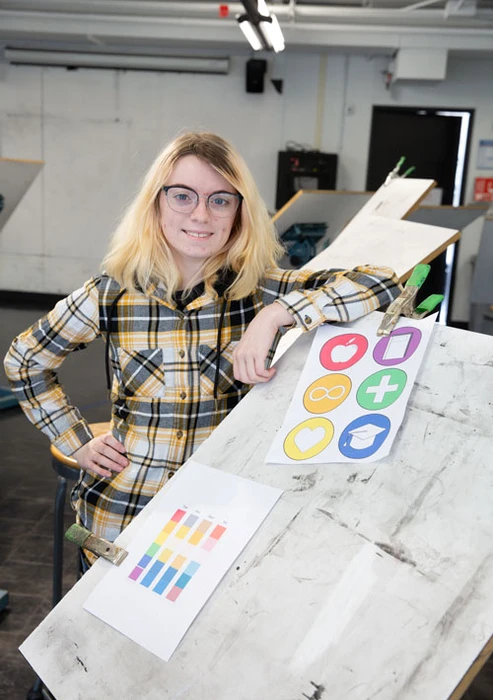
Dawn Payne, with renderings of the WNYCRC icons and color choices.
The Western New York Library Resources Council (WNYLRC) has selected Dawn Payne, a senior Animation and Illustration major from Orchard Park, to create an original map that identifies the locations of libraries as well as museums, art galleries and historical societies across Western New York.
The map will replicate how Google maps show general information, but differs by only including the specific locations of libraries and other member institutions.
Ms. Payne will design unique icons that represent each of the six categories – academic, cultural, hospital, public, school and other/special – of the 74 WNYLRC members that include Reed Library. Copies of the map will be distributed throughout Western New York by council members.
Coordinator of Special Collections and Archives Amanda Shepp at Reed Library learned of the opportunity for a student to design the map so she encouraged Payne, a student worker in Special Collections and Archives, to submit a proposal. She said there’s an opportunity for a student to potentially get work with the Western New York Library Resources Council, Payne recalled, “and she said ‘you should see if you can get it, make a pitch to them, submit an application and see where that goes.’”
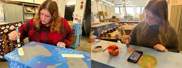
“I pitched my idea and they loved it,” Payne said. Her package was comprehensive, going above and beyond what was requested of applicants. Her proposal included a very detailed Google sheet that listed the six member categories and all other information to be incorporated into the map, as well as a timeline for project completion.
Then, as Payne had learned in Animation and Illustration classes, she detailed materials to be used as well as software programs, and also explained the thought processes behind each step she was going to take. “I was very intense about what I submitted,” Payne noted.
Payne’s map illustration will be “color-blind friendly” through the use of primary or basic colors without any variation, so the map’s different elements will be more easily distinguishable to persons who have different degrees of color blindness and would not see the map the same way others would.
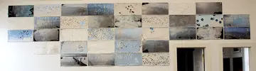
In her own illustrations, Payne likes to experiment with styles and looks. “The ones that I tend towards, however, tend to look more painted in nature. I’ve always personally enjoyed the idea of digital water color or just a water-color look when it comes to pieces, especially backgrounds.”
Mx. Shepp, who’s familiar with Payne’s work, describes her illustrations as “fantasy-oriented” and “very imaginative.”
Payne plans to continue learning different skills, such as coding, to enhance her portfolio and work as a freelance illustrator in the video-gaming industry.